Equipment › Artec Jet & Artec Twins
New · SLAM LiDAR · Serving Canada
Artec Jet
& Artec Twins
The site, not the part.
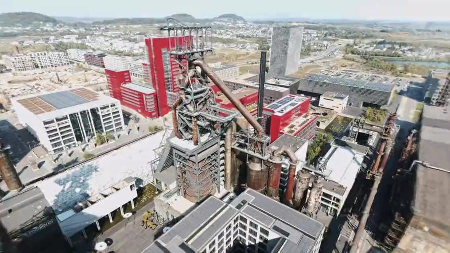
Everything else we sell measures an object. Jet measures the place the object sits in — a plant, a mine, a bridge, a city block — at walking pace, with no GPS, no tripod and no control network. Artec Twins is the software that turns what it collected into something you can measure, compare, and hand to an engineer.
The short version
A scanner you walk through a site with
SLAM — simultaneous localisation and mapping. The scanner works out where it is from what it can see, continuously, as you move. No satellite fix, no targets, no tripod, no surveyed control network. You walk, drive or fly it through the space and it records 1.9 million points a second while you do.
512 GB on board — roughly sixteen hours of sensor data before you have to offload anything. Two-year warranty.
Those are site numbers, not part numbers.
Ten millimetres across a building is survey-grade. Ten millimetres across a bracket is useless. Jet is not a bigger version of a handheld scanner and it is not trying to be. It answers a different question — and for the question the handhelds answer, nothing on this page replaces them.
Deployment
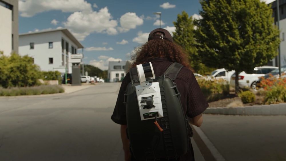
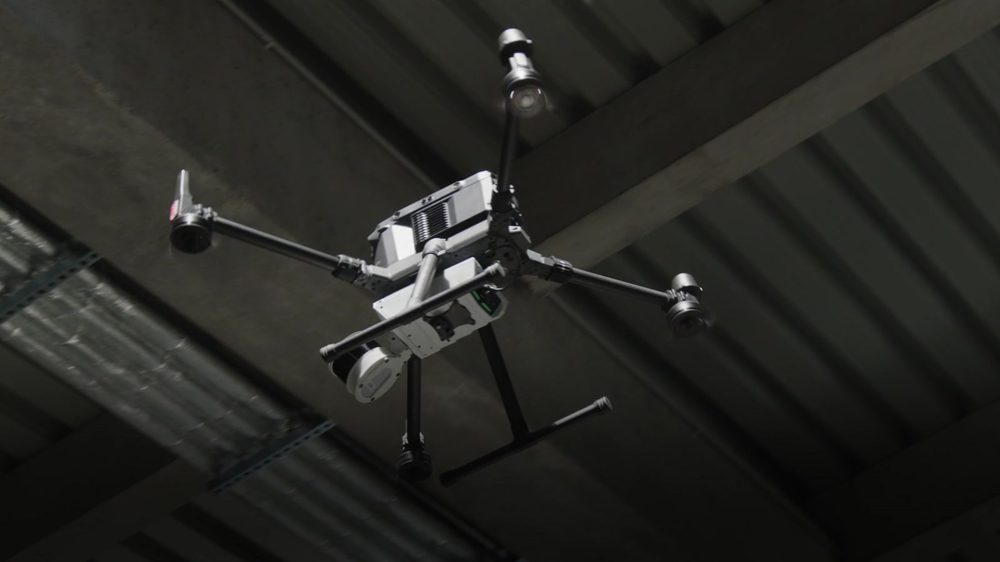
Seven ways to carry it
The same instrument, mounted whichever way the site allows. Most jobs use two or three of these in an afternoon.
The output
What comes back
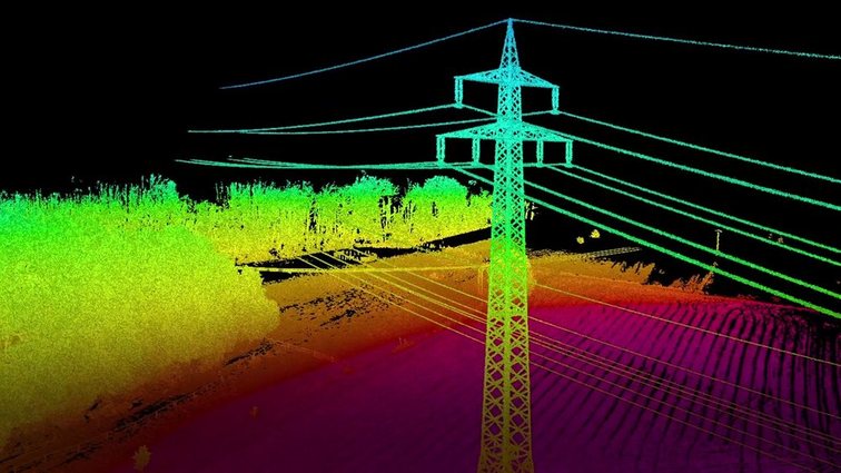
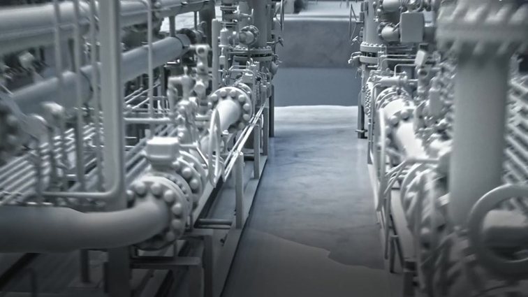
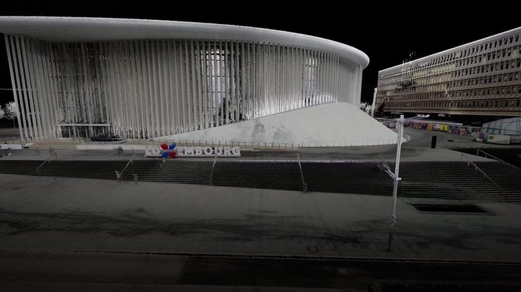
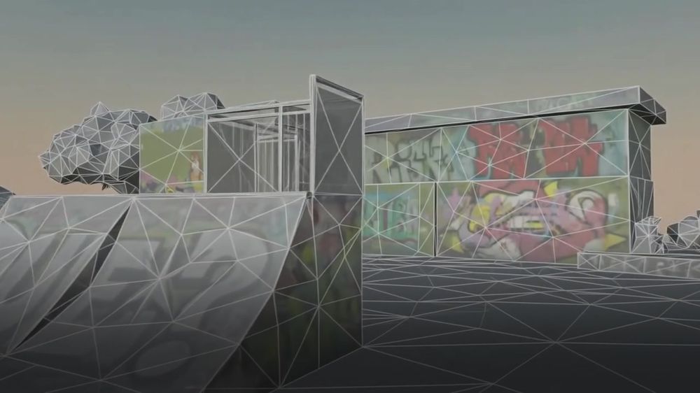
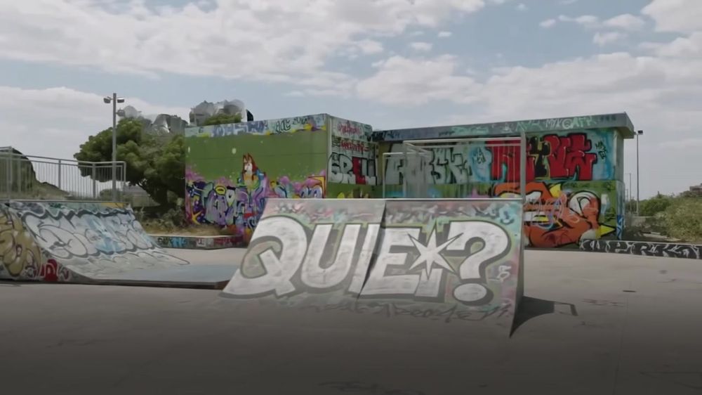
A point cloud of the whole space, georeferenced if you need it to be, in the format your surveyor or engineer already works in: LAS, LAZ, PLY, DXF and E57. Colour is optional — an action camera on the unit gives you full RGB points instead of intensity or elevation shading.
Honestly
Where Jet stops and the handhelds start
Jet measures places
Buildings, plants, tunnels, stopes, corridors, road and rail. Millimetres across hundreds of metres, captured at walking pace. If the answer you need is how big is this space and what is in it, this is the instrument.
The handhelds measure things
Artec Leo, Artec Neo and Spider II work in hundredths of a millimetre, on something you can walk around. A casting, a bracket, a bore, a sculpture. Jet will never do that, and they will never do a mine.
The useful part is both
Jet gives you the site in one coordinate system. Leo drops the one component that actually matters into it at full detail. That is a single model where the plant is accurate to the centimetre and the flange face is accurate to the hundredth — which is exactly how the drawing was always meant to read.
The software
Artec Twins
Twins is the processing half. Point clouds go in; measurable, georeferenced, shareable deliverables come out. It was built for datasets large enough that ordinary scan software gives up — hundreds of millions of points, viewed and worked on at speed rather than batched overnight.
Two things worth knowing before you ask the price
Every Jet comes with it
A Jet is sold with an Artec Twins licence — one licence per computer, the same way Artec Studio is licensed. Jet Bridge, the live link between the scanner and the software, is included as well. Neither is a line item we add afterwards, and neither is something you can decline.
Twins also stands on its own
You do not need a Jet to buy it. Twins includes everything Artec Studio does, and it will take data from third-party scanners, drones, terrestrial laser scanners and plain cameras. If you already own somebody else’s hardware and the processing is what hurts, this is a conversation worth having.
And one that may save you some
If you run a Jet, you have Twins already. If you run a Ray II and your sites routinely run past fifty scan positions, Twins is the one that will handle them without complaint. If you run a Leo, Spider II, Point II, Micro II, Eva or Neo and you are not combining that work with Jet data, Artec Studio is still the right software — and we will tell you so rather than sell you the bigger licence.
Multi-source
From satellite to carved lettering, in one file
This is the argument for Twins in one picture: survey imagery, an aerial pass, and a close handheld capture of a single monument, all aligned into the same model. You zoom in and the resolution keeps going until you are reading the inscription.
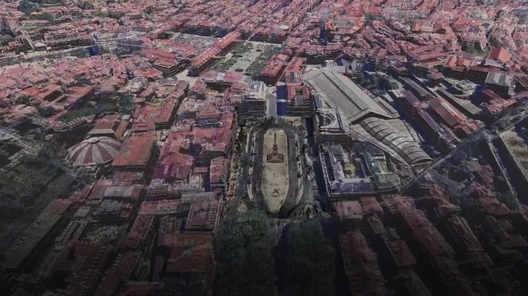


Imagery on this page is Artec 3D’s own demonstration data, shown here to illustrate what the instrument and the software produce.
Who buys one
Where this earns its money in Canada
Mining
Stopes, drawpoints, raises and voids — the places a person should not stand. Lower it in a cage or fly it. Then scan the same ground next month and let the software tell you what moved, to five millimetres.
Construction and infrastructure
As-built against design, progress against schedule, scan-to-BIM, clash and clearance. A weekly walk-through is a weekly record that nobody can argue with afterwards.
Plants, utilities and public safety
Process plants with drawings nobody trusts. Transmission corridors and clearances. Topographic survey, volumes, and site documentation where the alternative is a week of total station work.
If you need the data once, you do not need the scanner.
We run this work as a service as well. Tell us what you need captured and we will quote the job rather than the instrument — and if buying one turns out to be cheaper over a year, we will say that too. Book a scan
Buying one in Canada
What the process looks like
A demo on your site
Not a slide deck. Artec’s own position is that Jet needs very little training — it is close to push-button — so the fastest way to know whether it fits is to bring it to the environment you actually care about and run it.
A Canadian price
We quote in Canadian dollars, landed, with the Twins licence included because it always is. We do not publish prices for this class of instrument, because the configuration and the accessories change the number more than the base unit does. Ask and you will get a real one.
Support afterwards
Two-year warranty, extended service plans available, and a Gold Certified Artec 3D Partner on the same side of the border as your scanner. Accessories: backpack and vehicle mounts, telescopic boom pole, protective cage, RTK base stations and control targets, action camera kit, long-range radio, and drone mounts for DJI M300 and M350 and the Freefly Astro Max.
Tell us what you need to map
Describe the site, what you need the data for, and who has to use it afterwards. We will tell you whether Jet is the right answer, and quote it if it is.